Idaho’s GIS Role in Next Generation 911
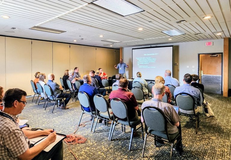
The Northern Rockies Chapter of the Urban and Regional Information Systems Association (URISA) held its annual Intermountain Geographical Information Systems (GIS) conference in Post Falls, Idaho on May 12. The event served as a platform for GIS professionals statewide to dive into the latest trends and technologies shaping their field. Among workshops and seminars, was a discussion on the importance role of GIS in the transition to Next Generation 911 (NG911) capabilities presented by Idaho Office of Emergency Management (IOEM) 911 Program Manager, Eric Newman.
NG911 represents the pinnacle of emergency response technology, offering quick and dependable services to citizens in need. Operating on an Internet Protocol (IP) based platform, NG911 supersedes traditional hard lines, and better addresses cellular telephone calls. Given that cellular calls can originate from any location, the ability to precisely locate the caller becomes important. With Idaho leading the nation in cellular-only households, the Idaho Public Safety Communications Commission is working to implement NG911 statewide.
GIS professionals play an integral role in NG911 effectiveness. The data curated by GIS personnel contains crucial information concerning response districts, cellular user data, and most importantly, the precise location of the caller, down to a few feet. Accuracy is crucial, as even the slightest discrepancy in data can impede telecommunicators from swiftly and confidently pinpointing the incident’s location.
While NG911 has yet to be fully realized in Idaho, a team within the Idaho Office of Information Technology Services (ITS) is leading efforts to standardize data statewide. Once all Public Safety Answering Points (PSAPs) are equipped with the requisite connectivity and programming, location-based routing will be activated within a mere five seconds. Coupled with IP-based data capabilities, telecommunicators will gain the ability to pinpoint calls to specific rooms within large buildings—an advancement from the past practice of identifying addresses. As well, callers will have the capability to transmit video and photos, facilitating more effective communication of their needs.
“GIS is the backbone of our mission to enhance emergency response in Idaho. Every map, every data point is a step forward in ensuring our citizens receive the help they need, when they need it,” said Newman. “Together, we’re charting a course towards a future where Next Generation 911 sets a new standard for safety and security across our state.”
Despite the considerable planning required to implement NG911 statewide, the ITS GIS team diligently works to create a foundation for these needed public services.