(Mapping Assessment & Planning)
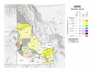
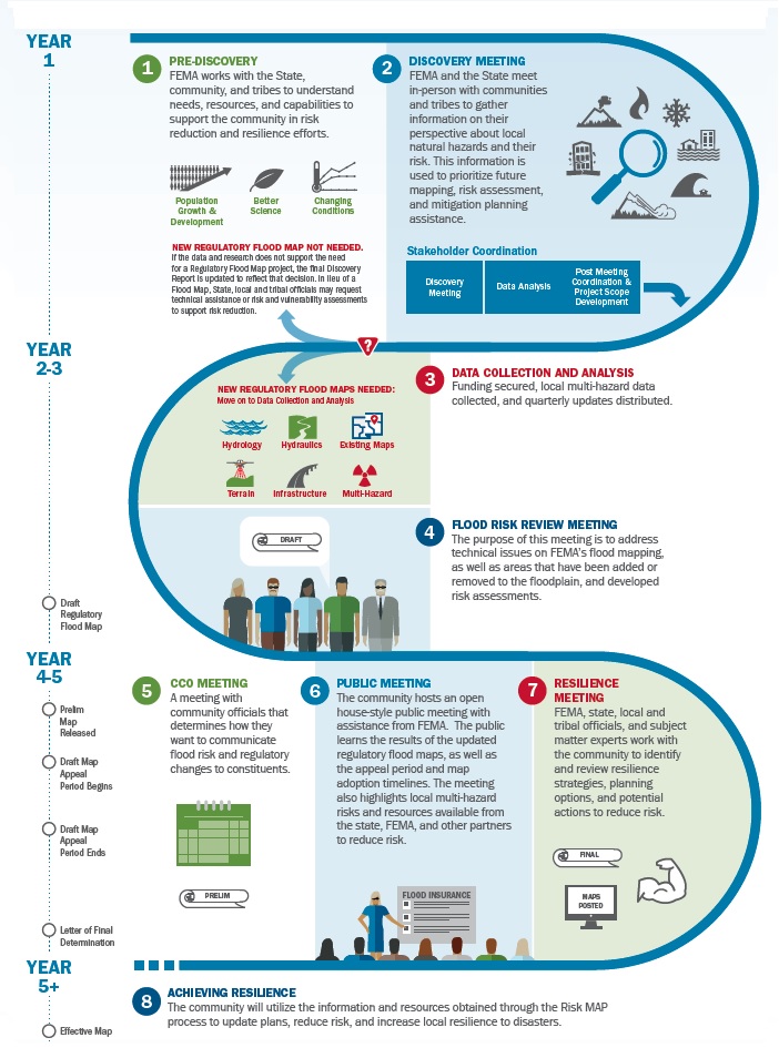
Risk Mapping, Assessment, and Planning (Risk MAP) is a Federal Emergency Management Agency (FEMA) program that provides communities with flood information and t0multi-hazard risk tools they can use to enhance their mitigation plans and better protect their citizens. Through more accurate hazard maps, risk assessment tools, and outreach support, Risk MAP builds on map modernization and strengthens local ability to make informed decisions about reducing risk.
2021 Idaho Risk MAP Business Strategic Plan